Tag: Visual edit |
No edit summary |
||
| Line 1: | Line 1: | ||
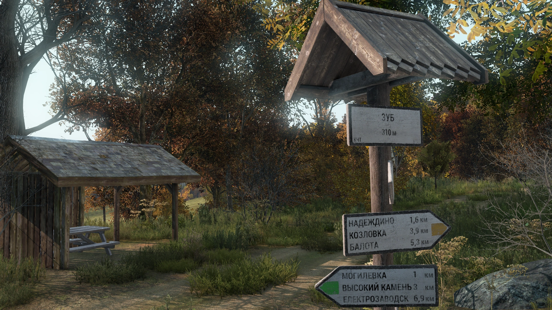
[[File:HikingTrails_Zub_1a.png|thumb|right|250px|A rest stop at [[Zub Castle]].]] |
[[File:HikingTrails_Zub_1a.png|thumb|right|250px|A rest stop at [[Zub Castle]].]] |
||
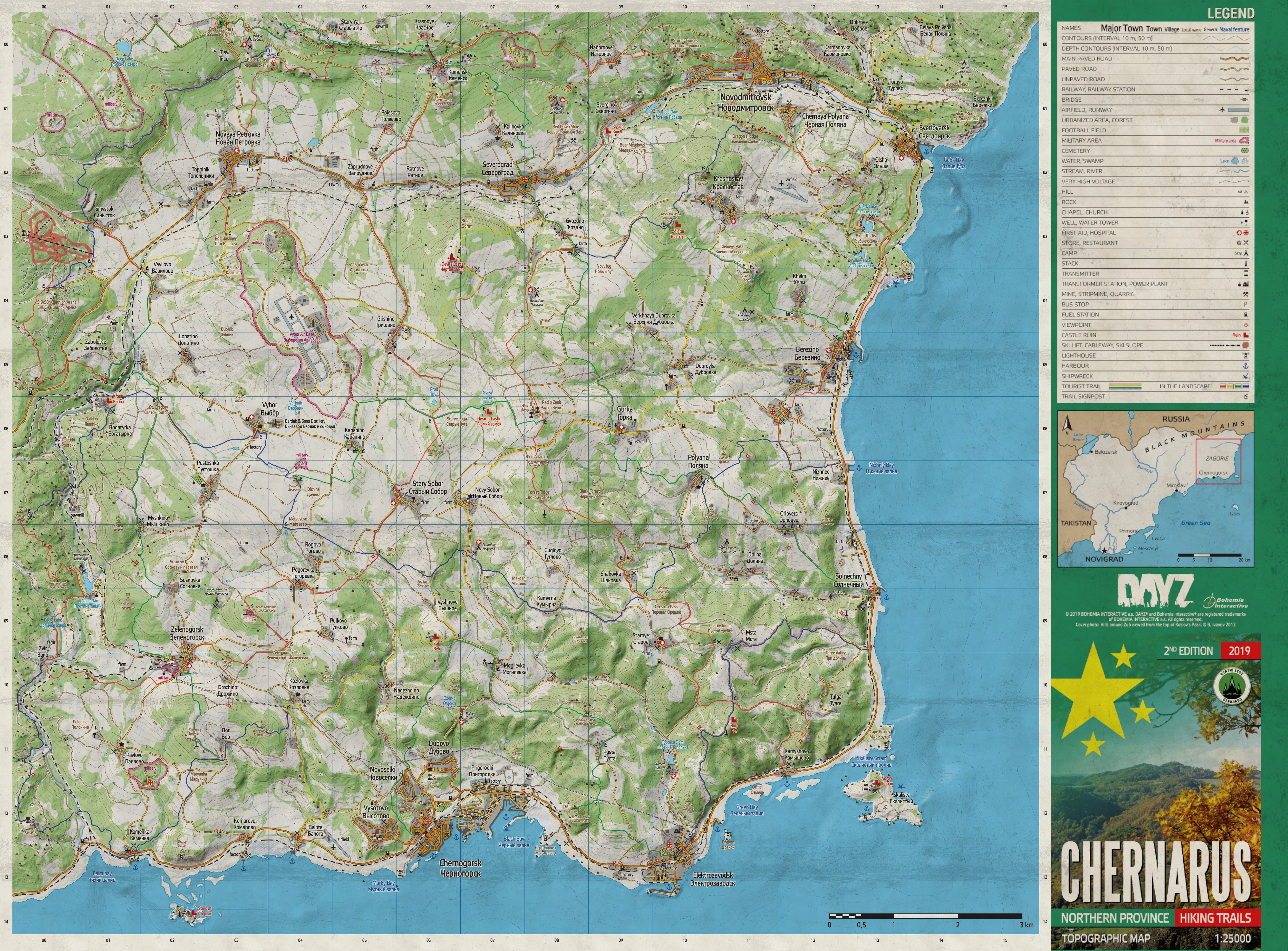
[[File:Chernarus Tourist Topographic Map and Legend.jpeg|thumb|500px|right|A topographic map and legend of South Zagoria found at most trail rest stops. 1:25000 scale.]] |
[[File:Chernarus Tourist Topographic Map and Legend.jpeg|thumb|500px|right|A topographic map and legend of South Zagoria found at most trail rest stops. 1:25000 scale.]] |
||
| − | '''{{PAGENAME}}''' form a network of paths that span across the |
+ | '''{{PAGENAME}}''' form a network of paths that span across the north-eastern province of [[South Zagoria]]. Trails found within [[Chernarus]] follow the exact principles of the real-life [https://en.wikipedia.org/wiki/Czech_Hiking_Markers_System Czech Hiking Markers System]<ref>https://en.wikipedia.org/wiki/Czech_Hiking_Markers_System#cite_note-6</ref>, and each trail is accompanied with one of the four variants of colored trail markers seen throughout the landscape. |
==General== |
==General== |
||
Revision as of 22:20, 9 June 2021
A rest stop at Zub Castle.
A topographic map and legend of South Zagoria found at most trail rest stops. 1:25000 scale.
Hiking Trails form a network of paths that span across the north-eastern province of South Zagoria. Trails found within Chernarus follow the exact principles of the real-life Czech Hiking Markers System[1], and each trail is accompanied with one of the four variants of colored trail markers seen throughout the landscape.
General
The Hiking Trails found throughout Chernarus can be easily used to navigate the vast landscape through the use of the signs, markers, and maps posted along the paths. The trails span 200 kilometers in total distance, with each individual trail marked with its own color band (see below) denoting its difficulty. There are a total of 93 directional trail signs posted with information on the current location such as elevation and route color, as well as information on the trail itself, with nearby points along the path also signposted and directed to via the angle of the sign itself - all given in Cyrillic (Russian) script. Hiking Trail markers can be found on rocks, trees, and small wooden posts dotted along the trails. The majority of the trail network is off-road and is always followed by a light-thin brown trail distinguishable from the rest of the ground textures[2]. For the trails that intersect or follow roadways, there is no such ground indication.
While the colour of Hiking Trails is an indication of difficulty, certain Hiking Trails can easily lead to certain locations, making them useful for navigating, for instance, one can easily find Rog Castle by following the blue path that leads to and from Elektrozavodsk's church.
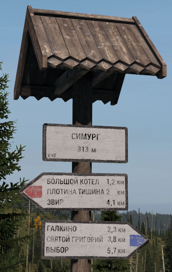
A trail sign at Simurg.
| Color | Details |
|---|---|
 |
Red markers indicate the trail is the most difficult. |
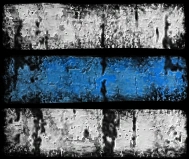 |
Blue markers indicate the trail is difficult. |
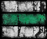 |
Green indicates the trail is easy and interconnects with other trails. |
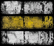 |
Yellow indicates the trail is easy and interconnects with other trails. |